Technology
Historic Maps
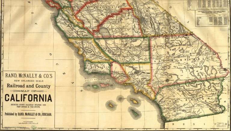
Historic maps of the Bay Area and California line the hallways of U&R’s office. Dating from the 1860s to 1960s, these maps commemorate a time when every distance and angle shown was measured by hand. Dedicated rugged individuals mapped out
